Aviation Knowledge
Aviation Meteorology for Pilots
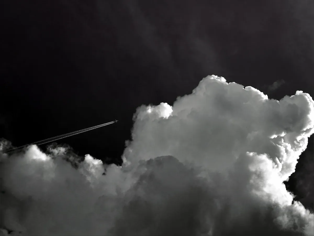
Weather is one of the most critical factors in aviation safety. Understanding meteorology helps pilots make informed decisions, avoid hazardous conditions, and plan flights effectively. This guide covers the essentials based on ICAO Annex 3 and WMO standards.
The Atmosphere
The atmosphere is divided into layers. The layer where most flying occurs is the troposphere, which extends from surface level to approximately 36,000 ft (11 km) at mid-latitudes. Key characteristics:
- Temperature decreases with altitude at approximately 2°C per 1,000 ft.
- Contains most of the water vapor and weather phenomena.
- Standard sea-level pressure: 1013.25 hPa (29.92 inHg).
- Standard sea-level temperature: 15°C (59°F).
Above the troposphere is the tropopause, a boundary where temperature stops decreasing. Above it lies the stratosphere, where commercial jets often cruise to avoid turbulence and weather.
Cloud Types
Clouds are classified by height and shape:
| Family | Types | Significance |
|---|---|---|
| High | Cirrus, Cirrostratus, Cirrocumulus | Generally fair weather; indicate approaching fronts. |
| Middle | Altostratus, Altocumulus | Possible light precipitation; turbulence. |
| Low | Stratus, Stratocumulus, Nimbostratus | Low ceilings, reduced visibility, steady precipitation. |
| Vertical | Cumulus, Cumulonimbus | Cumulonimbus = thunderstorms, severe turbulence, icing. |
Air Masses and Fronts
An air mass is a large body of air with uniform temperature and humidity. When two air masses meet, a front forms:
- Cold front — cold air pushes under warm air. Rapid lifting, thunderstorms, and clearing after passage.
- Warm front — warm air rises over cold air. Gradual lifting, widespread precipitation, and slow clearing.
- Occluded front — a cold front catches up to a warm front. Complex weather, often with precipitation.
- Stationary front — little movement, prolonged precipitation.
METAR and TAF
METAR is a routine weather observation, issued every 30-60 minutes. TAF is a terminal aerodrome forecast, covering 9-30 hours.
Example METAR:
LFPG 151250Z 24015KT 9999 SCT025 BKN040 18/12 Q1013 NOSIG- LFPG — Paris Charles de Gaulle (ICAO code).
- 151250Z — 15th day of month at 12:50 UTC.
- 24015KT — wind 240° at 15 knots.
- 9999 — visibility 10 km or more.
- SCT025 BKN040 — scattered at 2,500 ft, broken at 4,000 ft.
- 18/12 — temperature 18°C, dew point 12°C.
- Q1013 — QNH 1013 hPa.
- NOSIG — no significant change expected.
Hazardous Weather
Key hazards for pilots:
- Thunderstorms — severe turbulence, hail, lightning, microbursts. Avoid by at least 20 NM.
- Icing — structural ice reduces lift and increases drag. Most dangerous in freezing rain and clouds.
- Fog — reduces visibility below VFR minimums. Common in early morning and valleys.
- Windshear — sudden change in wind speed/direction. Dangerous on approach and departure.
- Mountain wave — severe turbulence downwind of mountains.
- Low-level wind shear (LLWS) — often associated with fronts and thunderstorms.
Frequently asked questions
What is the standard lapse rate?
2°C per 1,000 ft in the troposphere (ISA).
How often is a METAR issued?
Typically every 30 minutes, or hourly at some airports, plus special reports (SPECI) when conditions change significantly.
What is the difference between QNH and QFE?
QNH is the altimeter setting that makes the altimeter read elevation above mean sea level. QFE makes it read height above the aerodrome.
Log weather conditions with your flights
Pilot Logbook lets you record METAR, IMC/VMC time, and weather remarks for every flight.
Discover Pilot Logbook →